Taman
Mt. Timpanogos North Trailhead
2 warga lokal merekomendasikannya,
Tips dari warga lokal

Kristen
August 17, 2022
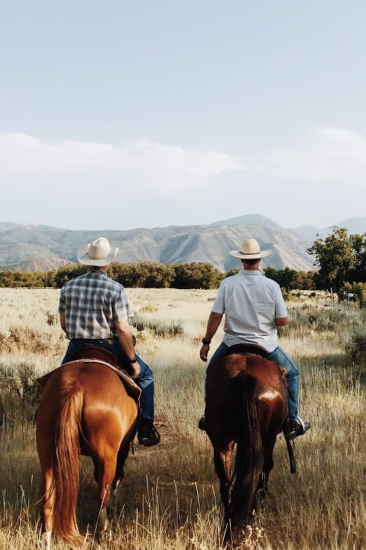
Mount Timpanogos, often referred to more casually as "Timp" or "Mount Timp," is the second highest peak in the state of Utah. Standing at 11,750 feet at the summit (approximately 3,582 meters), this stretch of rugged limestone peak is located in the Uinta-Wasatch-Cache National Forest, and is one of the most impressive in the state. Hiking to the Peak There are two trailhead options to hike and reach the summit of Mount Timpanogos. These trails are moderate to difficult. Please plan ahead, wear appropriate hiking footwear, sunscreen, and bring lots of water. High caloric snacks or food items are also recommended. As weather conditions can quickly change on this long hike, it is advised to wear or pack light layers as well. Please remember to recreate responsibly, including pack in and pack out all items that you bring, including any garbage items and clean up after your dogs if you bring them. And remember, please do not pick the wildflowers. Leave them for all others to enjoy. Additional hiking trails in and around Heber Valley.
Mount Timpanogos, often referred to more casually as "Timp" or "Mount Timp," is the second highest peak in the state of Utah. Standing at 11,750 feet at the summit (approximately 3,582 meters), this stretch of rugged limestone peak is located in the Uinta-Wasatch-Cache National Forest, and is one of…
Mt. Timpanogos North Trailhead oleh Pengalaman Airbnb
Kenali tempat terkenal ikonis ini melalui Pengalaman Airbnb, aktivitas grup kecil yang dipandu oleh warga lokal


Lokasi
Timpooneke Road
Provo, UT